UN
8 Manston Road
£ 310,000
Description
We don't have a Description for this property.
- Bedrooms
- 3
- Bathrooms
- 0
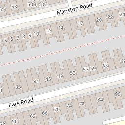

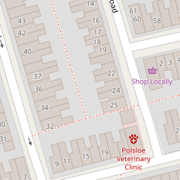


Leaflet © OpenStreetMap contributors
The heatmap indicates the level of crime in the area. The color of the heatmap indicates the crime severity and recency.
Metrics Year-on-Year
- Average area value
- 418,459.00 £Increased by 22.55 %
- Average area rental value
- 1,350.00 £/moDecreased by 3.98 %
- Est rental Yield
- 3.87 %Decreased by 21.66 %
- Crime Rate
- 3.00 %Unchanged by 0.00 %
from 341,459.00 £
from 1,406.00 £/mo
from 4.94 %
from 3.00 %
Nearby Schools
| Name | Type | Ofsted | Distance |
|---|---|---|---|
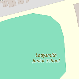
| Ladysmith Junior School | Community School | Good | 0.20 KM |
| Ladysmith Infant & Nursery School | Community School | Outstanding | 0.28 KM |
| Heavitree And Polsloe Children'S Centre | Children's Centre | 0.38 KM | |
| Stoke Hill Infant And Nursery School | Community School | Outstanding | 0.85 KM |
| St Michael'S Church Of England Primary Academy | Academy Sponsor Led | Outstanding | 0.95 KM |
Images
Nearby Streets
| Name | Average Price | Average Sqft | Distance |
|---|---|---|---|
| Kings Road | £ 0 | 0 | 0.00 KM |
| Wykes Road | £ 325,000 | 0 | 0.00 KM |
| Clifton Hill | £ 0 | 0 | 0.00 KM |
| St Margaret's | £ 436,429 | 0 | 0.00 KM |
| Beacon Avenue | £ 0 | 0 | 0.00 KM |
Nearby Transport
| Name | NLC | TLC | Distance |
|---|---|---|---|
| Polsloe Bridge | 3422 | POL | 1.00 KM |
| St James Park (Exeter) | 5751 | SJP | 1.26 KM |
| Exeter Central | 5755 | EXC | 2.51 KM |
| Exeter St Thomas | 3414 | EXT | 3.38 KM |
| Exeter St David'S | 3410 | EXD | 3.60 KM |
Nearby Listings
| Address | Price | Type | Score | Distance |
|---|---|---|---|---|
| Park Road, Exeter, Devon | £ 400,000 | BUY | Unknown | 0.06 KM |
| Park Road, Exeter, Devon | £ 325,000 | BUY | 5 / 10 | 0.08 KM |
| Manston Road, Exeter | £ 325,000 | BUY | Unknown | 0.08 KM |
| St. Annes Road, Exeter | £ 260,000 | BUY | 5 / 10 | 0.10 KM |
| Park Road, Exeter | £ 265,000 | BUY | 5 / 10 | 0.12 KM |
Nearby Properties
| Address | Price | Distance |
|---|---|---|
| 54 Manston Road | £ 285,000 | 0.00 KM |
| 19 Manston Road | £ 401,500 | 0.00 KM |
| 53 Manston Road | £ 265,000 | 0.00 KM |
| 44 Manston Road | £ 182,000 | 0.00 KM |
| 17 Manston Road | £ 47,000 | 0.00 KM |